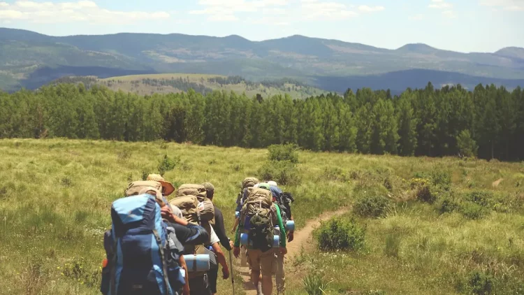

The hiking routes in Marbella offer a different perspective of the city, providing tourists with alternative options to the well-known luxury tourism. From trails that wind along the coast to paths that traverse the mountains, this city has a lot to offer for hiking and nature enthusiasts.
If you’re looking to explore the best hiking routes and discover the most charming areas of Marbella, we recommend renting a 7-seater car at Malaga Airport so you can easily access the starting points of the different routes with your family or friends and begin your adventure.
Table of Contents
The Best Routes in Marbella
Marbella is a perfect place for hiking enthusiasts, with many routes to explore. In this article, we will discover the best hiking routes in Marbella where you can enjoy nature and panoramic views.
Easy Hiking Routes in Marbella
If you’re looking for a way to enjoy the outdoors and stay active in Marbella, there are many easy hiking routes to explore that will allow you to discover the natural beauty of the region and enjoy spectacular views.
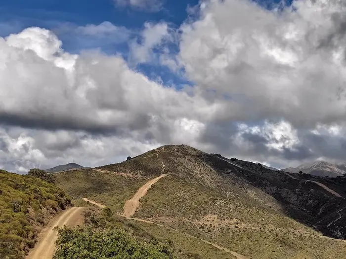
Vereda del Faro
The Vereda del Faro route starts at the Marbella lighthouse and follows a narrow path that ventures into the mountains. The trail is considered moderately difficult and is a winding path, making it an exciting and challenging hike for those who enjoy adventure.
It offers panoramic views of the beaches of Marbella, making this route an unforgettable experience for those willing to make the effort to complete it and be captivated by its beauty.
Interesting Facts
- Estimated Time: 3h 20min
- Kilometers: 6.3km
- Elevation: 150m
- Estimated Location: Puerto Rico Bajo in Sierra Blanca
Mirador de los Gitanos
The hiking route in Marbella to Mirador de los Gitanos is a stunning hike that offers spectacular views of the sea and the Sierra de Marbella. The trail is circular and begins with a gentle slope but becomes steeper as you progress, providing a challenge for more adventurous hikers.
The route offers panoramic views of the area that are ideal for capturing incredible photos. It is recommended to wear hiking shoes to avoid slipping on the rocky path.
Interesting Facts
- Estimated Time: 2h 26min
- Kilometers: 9.4km
- Elevation: 397m
- Estimated Location: Puerto de Santillana area in Sierra Blanca
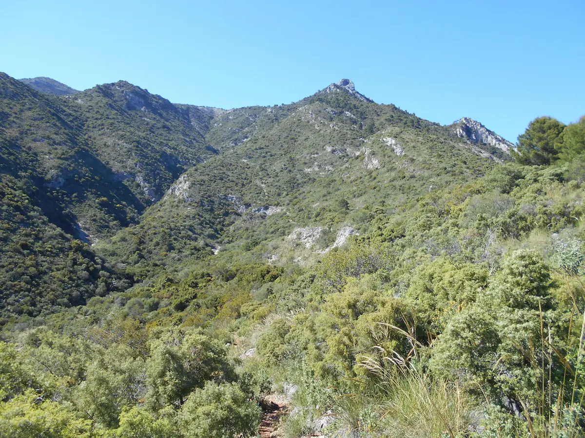
Pico de Juanar
The ascent to Pico de la Cruz de Juanar, which starts in the center of the village of Ojén and takes hikers through a beautiful Mediterranean forest to the mountain peak, is considered moderately difficult.
It passes through streams and small waterfalls, offering the opportunity to enjoy stunning views of the surrounding landscape, including the mountains of Sierra Blanca and the Mediterranean coast.
The final ascent to the peak of Juanar is a bit steeper, but once there, hikers are rewarded with breathtaking panoramic views of the area.
Interesting Facts
- Estimated Time: 2h 29min
- Kilometers: 6.58 km
- Elevation: 318m
- Estimated Location: Puerto Rico Bajo in Sierra Blanca
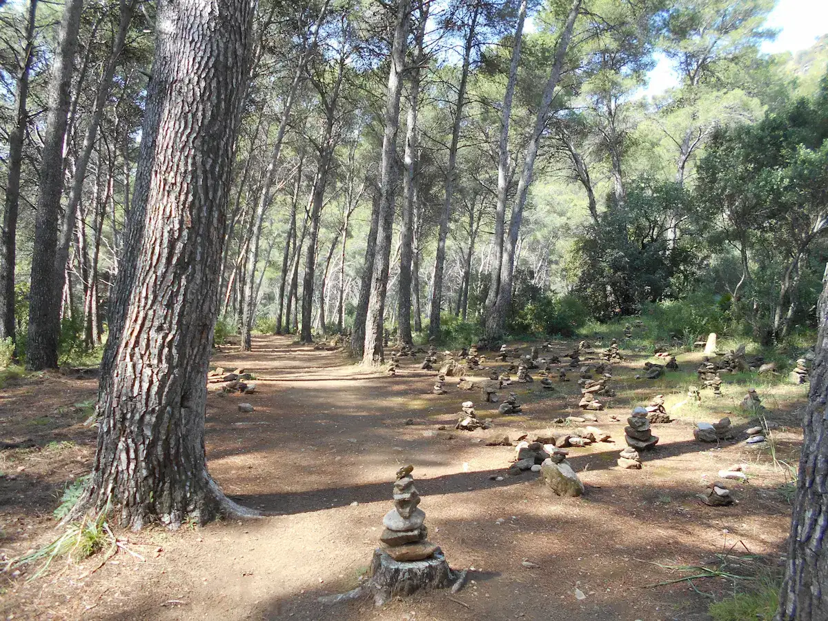
Monte Elviria
Another route that starts in the center of Ojén is the Monte Elviria, which follows a winding path through the hills of Sierra Blanca. The trail is considered moderately difficult and allows you to see the local flora and fauna, including holm oaks and cork oaks.
It is ideal for those looking for a shorter but equally impressive hiking activity. Hikers can enjoy some outdoor exercise while delighting in the beautiful views of the surrounding landscape and nature.
Interesting Facts
- Estimated Time: 2h 30min
- Kilometers: 7km
- Elevation: 432m
- Estimated Location: Sierra Blanca – Ojén
Medium to High Difficulty Hiking Routes in Marbella
For those seeking a higher physical challenge, Marbella also offers many more difficult routes that are worth completing to enjoy unique views on the Costa del Sol.
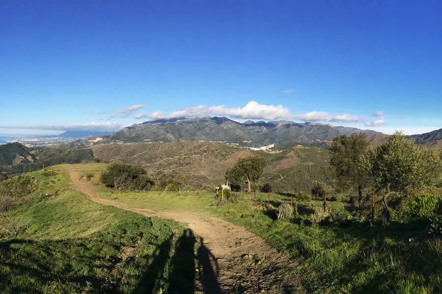
Tres Valles
The Tres Valles route starts in the village of Istán and follows a steep path that crosses, as its name suggests, three valleys: Valle del Molino, Valle del Peñoncillo, and Valle de las Cañas.
The trail is considered moderately difficult, with panoramic views of the mountains and valleys. It is ideal for those looking for a longer and more challenging hike, perfect for completing the route and having lunch at one of the typical restaurants in Marbella.
Interesting Facts
- Estimated Time: 8h 40min
- Kilometers: 16km
- Elevation: 800m
- Estimated Location: Sierra Blanca – Istán
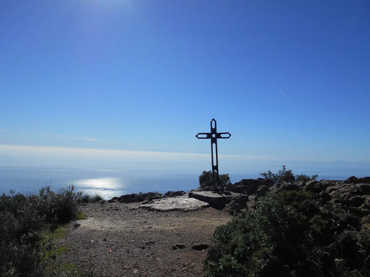
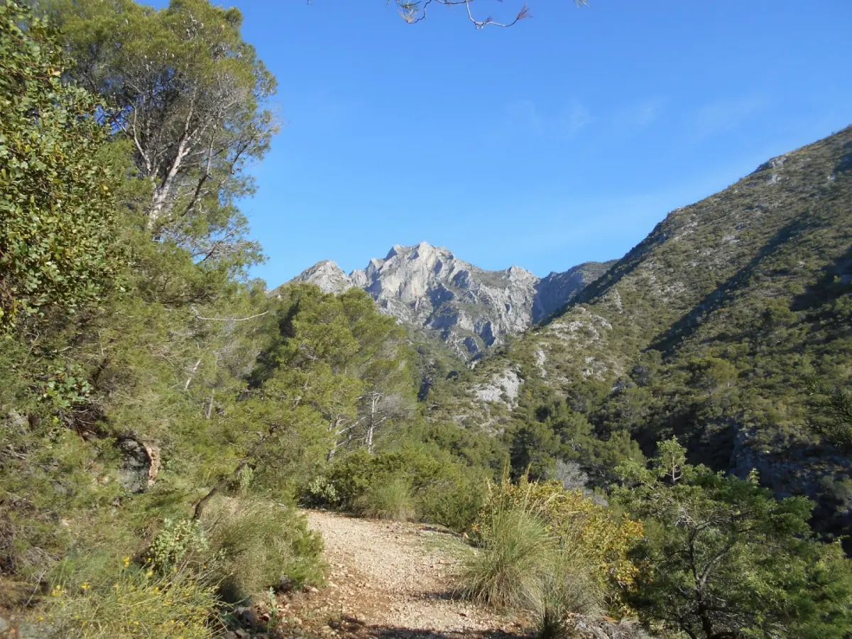
Ascent to La Concha
The ascent to Pico de Concha starts in Istán and follows a steep path through the hills of Sierra Blanca to the peak of La Concha. This trail has a higher difficulty due to its elevation, making it ideal for those seeking a physical challenge in a fascinating environment.
The area is located in the Sierra de las Nieves Biosphere Reserve and the terrain for hikers is rocky, with noticeable elevation. While it may seem challenging, conquering the summit will allow hikers to spot birds such as the griffon vulture or the eagle from the sky.
Interesting Facts
- Estimated Time: 7h
- Kilometers: 10.6km
- Elevation: 200m
- Estimated Location: Sierra Blanca – Istán
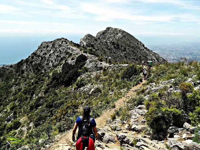
Nagüeles – Los Monjes
The trail to Los Monjes is a popular hiking route in Marbella, starting at the parking area at the entrance of Nagüeles urbanization and following a steep path through the hills of Sierra Blanca until reaching the rock formation of Los Monjes.
The rock formation of Los Monjes is a unique and spectacular place worth visiting, not only for its incredible views of the mountains but also for the immersion it provides hikers in the deepest nature.
Interesting Facts
- Estimated Time: 3h 10min
- Kilometers: 6.3km
- Elevation: 250m
- Estimated Location: Nagüeles area in Sierra Blanca
Map of Hiking Routes in Marbella
To complete this post, we have included an interactive map showing the exact location of the starting point of each described route, so you can easily plan your next nature adventure and choose the one that suits you best.