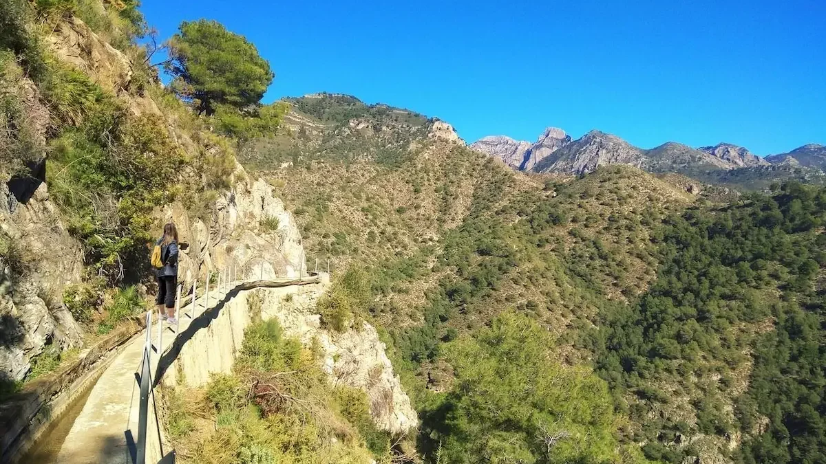
For those seeking a hiking getaway in Frigiliana, this town offers a unique natural environment in its surroundings, located near the Sierra de Almijara.
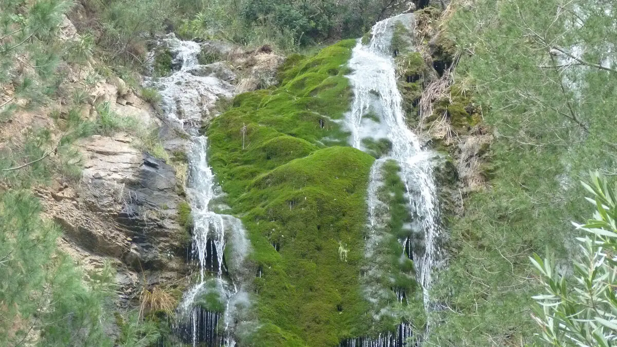
Its mountainous landscapes are complemented by proximity to the sea, offering travelers comprehensive views. Combined with its mild temperature throughout the year, it makes it an ideal area for trail lovers, with trails and routes for all levels.
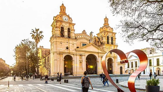
Travelers visiting Spain to explore its natural richness can rent a 7-seater car at Malaga Airport and head to the rich region of Axarquía, where surprising flora and fauna await discovery.
Table of Contents
The Best Hiking Routes in Frigiliana
There are various options for hiking enthusiasts in Frigiliana, and the town’s municipality has created a guide with some of the best routes for hikers of different levels classified by colors. Here are some of the most noteworthy:
Easy Hiking Routes in Frigiliana
This white village has some easy routes for those who want to explore the area without it being a physical challenge, enjoying the surroundings with friends or family and ending their route at one of the well-known restaurants in Frigiliana.
Blue Route: Cruz del Félix
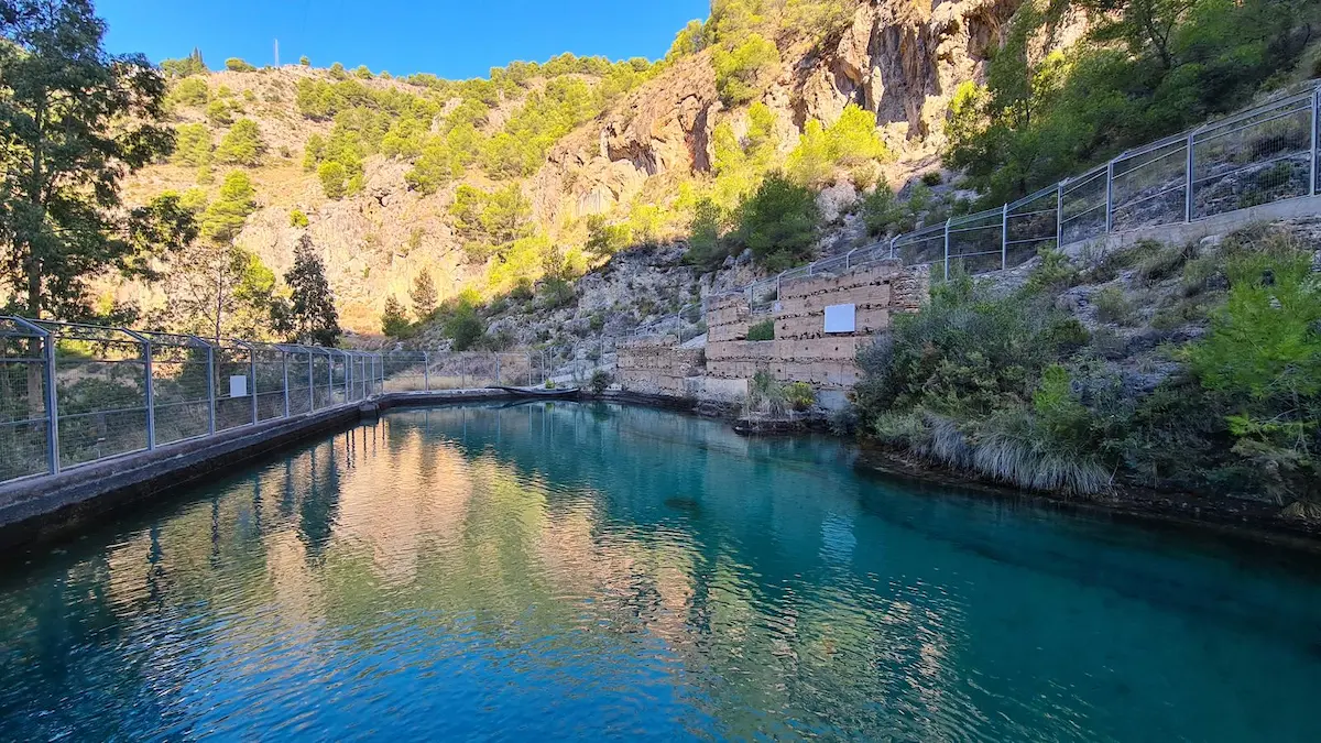
Starting the route from the central Plaza del Ingenio, this circular route begins by descending towards the Higuerón River, advancing north towards the Batán well, an Arab construction used for irrigation in the lower part of the village.
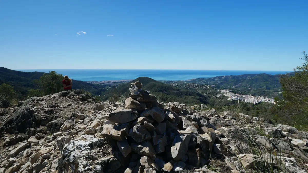
From there, hikers will continue towards the Chillar hills, reaching the highest point of the route, which is Cruz de Félix, with a beautiful panoramic view of the Sierra de Almijara Natural Park, Frigiliana, Nerja, and its coastline.
The descent and return to Frigiliana will be done through the Corral de Pinto until reaching the Chíllar Riverbed and then continuing on a concrete lane that leads back to the village.
Points of Interest
- Estimated Time: 2h 30min
- Kilometers: 4.1km
- Elevation: 256m
- Estimated Location: Northeastern Frigiliana
Celestial Route: Lomas del Chillar
This route has a section of the route in common with the previous one, also starting at Plaza del Ingenio but this time heading downhill along Cuesta del Apero until reaching the Higuerón Riverbed, continuing the route towards the Batán well.
From there, the ascending trail to the Lomas del Chillar begins, reaching the highest point of the route at 459 meters above sea level. From this point, you can enjoy views of Nerja and a part of the Natural Park.
Then, the descent begins towards Barranco del Agujero, where you can see the remains of an old dam known as “el pozo viejo” on the slope. To return, follow the river downstream until you reach the Batán well again and then retrace your steps to reach Frigiliana.
Points of Interest
- Estimated Time: 2h 50min
- Kilometers: 4.4km
- Elevation: 262m
- Estimated Location: Eastern Frigiliana
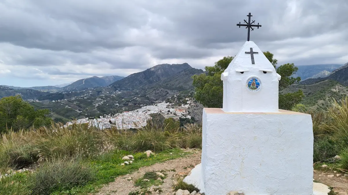
White Route: Cruz de Pinto
Cruz de Pinto is a sanctuary built on the mountain in 1643 by Francisco de Pinto. According to legend, Pinto promised to build it after surviving a storm at sea near Nerja.
This hiking route in Frigiliana starts at the Guardia Civil barracks, descends to the Higuerón Riverbed, and continues downstream to find a trail on the left to start the ascent to the summit where the cross is located.
For the return, descend until you find a goat pen encountered during the ascent, then retrace your steps to return to the village.
Points of Interest
- Estimated Time: 3h
- Kilometers: 5.8km
- Elevation: 257m
- Estimated Location: Southern Frigiliana
Medium to High Difficulty Hiking Routes in Frigiliana
Hiking and trail enthusiasts in Frigiliana will seek routes that offer a higher level of challenge than the previous ones. For them, we have prepared a compilation of routes ranging from 7 to 15 kilometers.
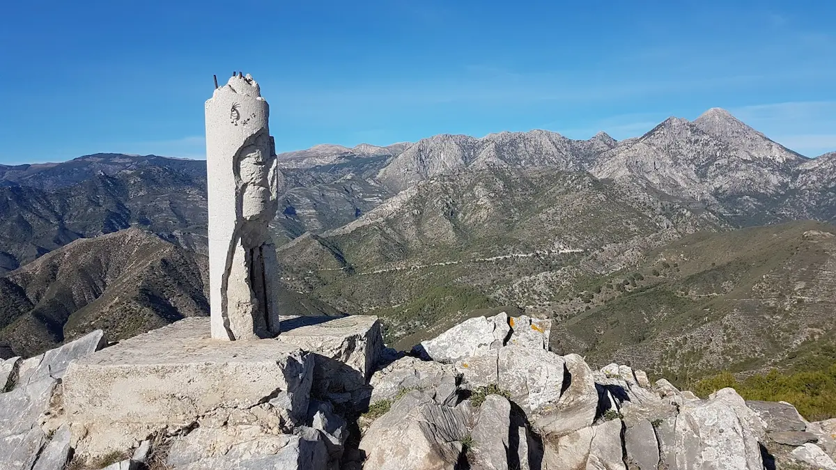
Red Route: El Fuerte
Starting the route from Plaza del Ingenio through the old town of the village, this route begins from the highest part of the historic center, exiting through the Chorrea street stairs onto a concrete path leading to a junction that goes to the Lízar well.
Along the way, hikers will encounter ancient Arab irrigation channels and lime kilns and gradually enjoy increasingly better views of the village and its surroundings.
Upon reaching the summit at 963 meters in altitude, you’ll have a panoramic view of the natural park and the coast of Nerja, returning along the same path.
Points of Interest
- Estimated Time: 4 hours
- Kilometers: 7.4km
- Elevation: 633m
- Estimated Location: Northwestern Frigiliana
Yellow Route: La Lastra
Starting from the town center, this hiking route in Frigiliana begins by taking Carlos Cano Avenue towards Torrox. Upon reaching the roundabout, hikers will take a dirt path next to El Tejar farmhouse.
A bit further ahead, a crossroads will appear that should be followed towards the Loma de la Cruz sign until reaching an asphalt road connecting Frigiliana and Torrox.
Upon reaching a greenhouse, hikers will once again take a dirt path until reaching an abandoned olive grove called “La Lastra.” At the top of the estate are the ruins of a farmhouse with incredible views of Nerja’s beaches and the town of Frigiliana.
Points of Interest
- Estimated Time: 3 hours
- Kilometers: 8.6km
- Elevation: 330m
- Estimated Location: Western Frigiliana
Green Route: Acebuchal
This hiking route in Frigiliana has one of the best views of the entire Costa del Sol, bordering the entire Natural Park of the Sierras de Tejeda, Almijara, and Alhama, with a panoramic view of Nerja’s coast and Frigiliana’s fields.
Starting the journey from Plaza del Ingenio, travelers should take Carlos Cano Avenue towards Torrox for 3 kilometers, and then take a detour with signs for Acebuchal and Pedregal, a section that follows a comfortable concrete path.
Upon reaching the Los Cuatro Caminos crossroads, turn right to enter the Natural Park on a dirt trail. Here, you can see Acebuchal, a village rebuilt in 1998. From there, hikers will retrace their steps to return to the village.
This is perhaps one of the best hiking routes in Frigiliana, with a long distance but comfortable to hike. It allows you to enjoy the old town of the city, enter the natural park, and visit an old village.
Points of Interest
- Estimated Time: 4 hours and 20 minutes
- Kilometers: 13km
- Elevation: 417m
- Estimated Location: Southern Frigiliana
Map of Hiking Routes in Frigiliana
Have you already decided which hiking route in Frigiliana suits your interests best? In the following map, you can see where these routes are located and the areas they pass through, so you can choose the one that’s most appealing to you and your companions.