For nature lovers, the hiking trails in Estepona make it a hugely popular destination in the Costa del Sol, giving those who dare to explore the impressive views of the coast and nearby mountains.
With a mild and sunny climate all year round, Estepona is the ideal place for those wanting to enjoy outdoor activities. Moreover, the area is home to a wide variety of flora and fauna, making each trail interesting and unique.
Additionally, both the town and its surroundings offer plenty of accommodation, gastronomy and leisure options to those who include it in their destination for this holiday season. To discover its best trails and charming towns, the best option is to hire an automatic car at Malaga airport which will help you to reach the starting points of the following hiking trails with ease.
Table of Contents
The best trails in Estepona
Estepona’s natural surroundings boast some of the best hiking trails in the province of Malaga, with incredible scenery in itineraries to suit all levels, from the simplest to those aimed at the bravest hikers.
Simple hiking trails in Estepona
Novice hikers who arrive in Estepona wanting to enjoy a simple trail outdoors where they can come into contact with nature will be able to find comprehensive itineraries with distances of between 1.5 and 6km.
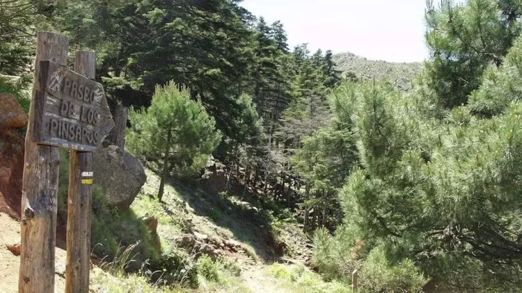
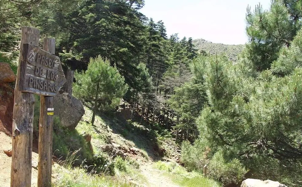
Paseo de los Pinsapos Trail
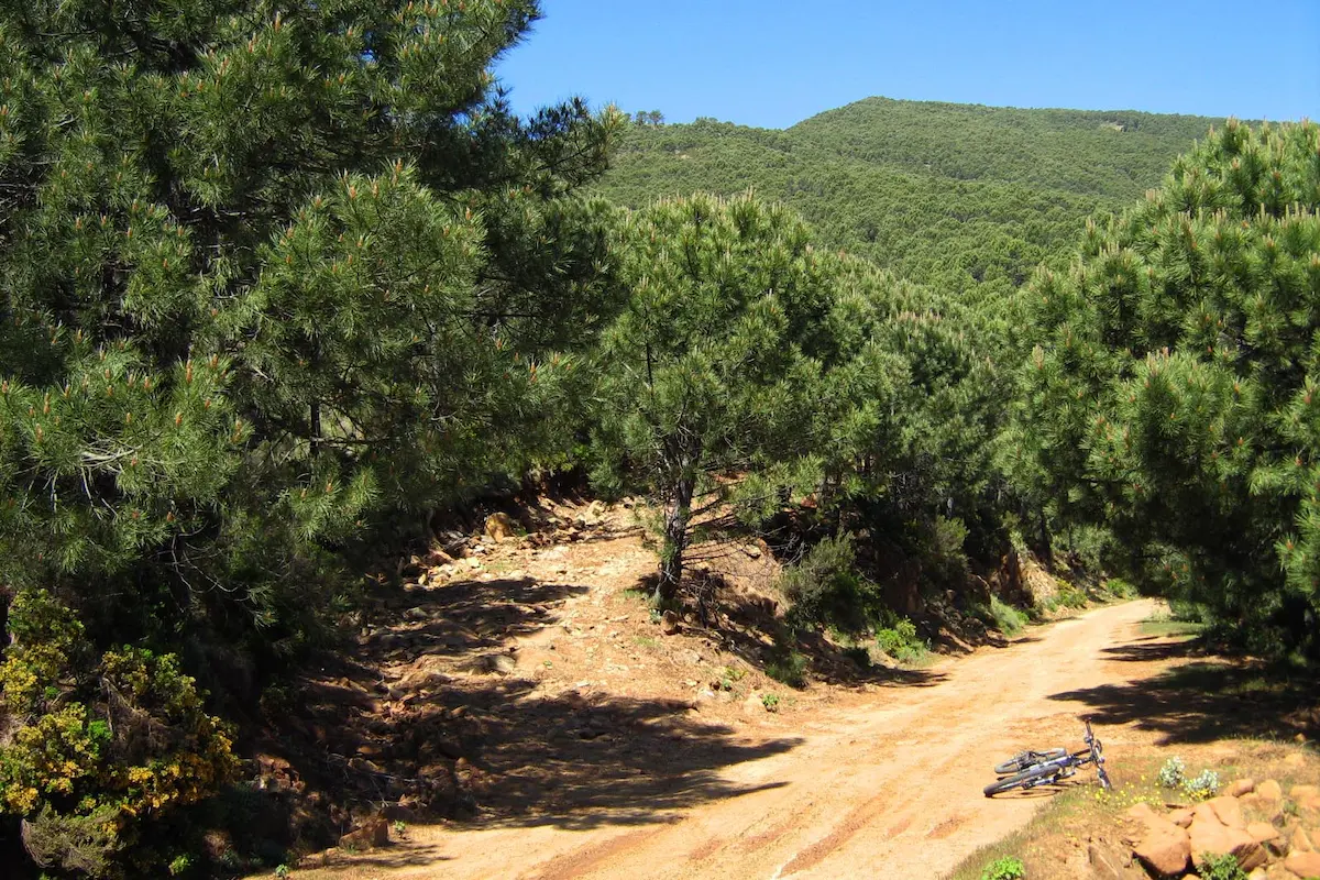
One of Estepona’s best-known hiking trails is the Paseo de los Pinsapos trail, a low-difficulty itinerary that you can enjoy with family and friends while admiring the area’s most typical vegetation and scenery. It is situated on the road up to Genalguacil.
Paseo de los Pinsapos is a 750 metre linear route which takes you through Spanish fir forests in the Sierra Bermeja mountains, one of the area’s botanical gems. The trail ends in a square after crossing a small bridge over the Garganta del Algarrobo river, where you will find a mural with poetry by Federico García Lorca.
Information of interest
- Estimated time: 1h
- Kilometres: 5km
- Incline: 185m
- Estimated location: Sierra Bermeja mountains
Pico de Los Reales climb trail
This hiking trail in Estepona is an itinerary of moderate difficulty which starts in Plazoleta Salvador Guerrero, locate 33 minutes by car from the town centre. Here you will find an area where it is easy to park, starting the trail at the sign indicating the start point of the Pico Los Reales trail.
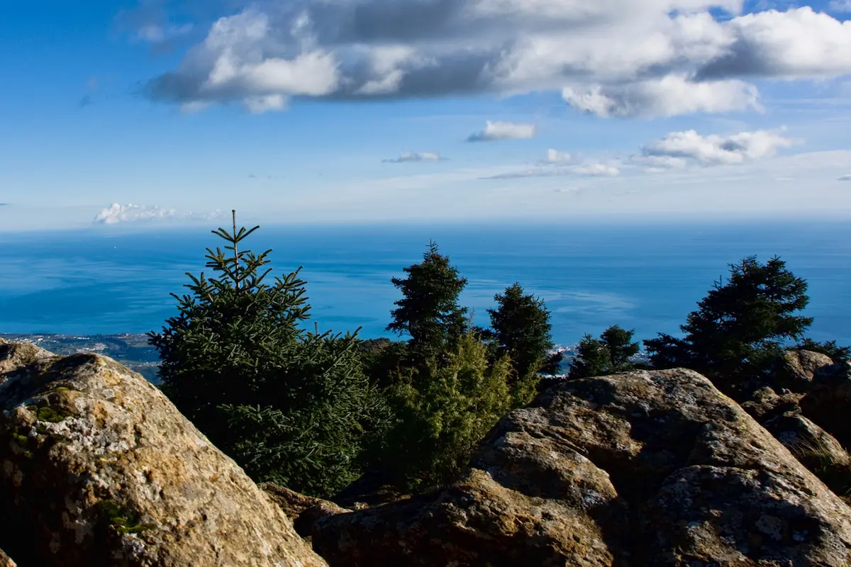
Following this path, after 500 metres you will find a viewpoint which offers an incredible panoramic view of the Costa del Sol and from which you can see Africa on clear days.
The path is parallel to the road connecting Estepona with Jubrique.
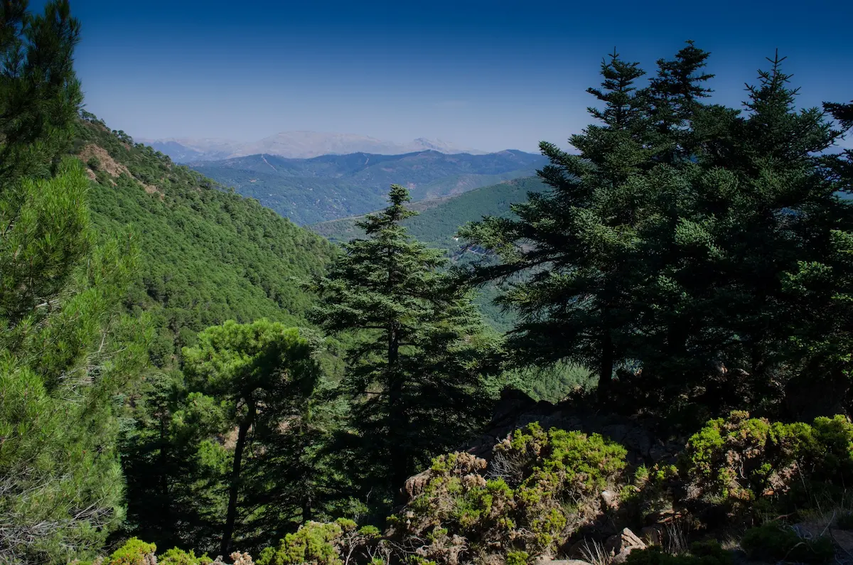
From there, following the SL-A 168 path, you will reach the peak of Los Reales, at 1452 metres above altitude. Here, you will be able to enjoy some incredible views. During this trail, you can admire some of the typical species of vegetation belonging to the Sierra Bermeja mountains, including pine trees, herbaceous plants and Spanish firs.
Information of interest
- Estimated time: 2h
- Kilometres: 33km
- Incline: 213m
- Estimated location: Genalguacil Road
Charca de las Nutrias trail
The Charca de las Nutrias (lake) trail is simple, short and suitable for walking as a family. It is located on the southern side of the Sierra Bermeja mountains, near to Estepona. The trail begins on the Camino del Castor path and takes you across the river of the same name, a trail surrounded by lush vegetation and small pools of water where you can enjoy a refreshing dip if you are hiking in summer or spring.
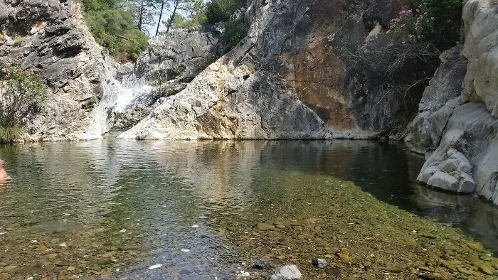
To access the area, you need to park at the start of the Camino del Castor path. After going through a gate, you head down to the river course and walk along the river until you reach Charca de las Nutrias (a lake), where hikers will be able to take a dip in its crystal clear waters, relax and enjoy a cool drink while preparing for the walk back.
Information of interest
- Estimated time: 2h
- Kilometres: 5km
- Incline: 214m
- Estimated location: Castor River
Medium-high difficulty hiking trails in Estepona
Hikers wanting to choose a longer trail of between 11 and 20 km, where they can enjoy some of the most beautiful towns of Estepona’s mountain range, will no doubt be astounded by their picturesque streets, friendliness of their people and unique gastronomy.
Genalguacil – Jubrique Trail
The Genalguacil – Jubrique trail along the Matagallar path is one of the most beautiful of Estepona’s hiking trails. Starting from Genalguacil, one of Malaga’s most picturesque white villages thanks to the works of art in its streets, this is a circular trail and is quite difficult because of its incline, although it does offer some incredible views.
The trail runs through the Genal valley, where visitors will be able to find cork oaks, pine trees, chestnuts and some species of birds like robins and nightingales. The paths are clearly signposted, running along simple tracks and crossing several streams where you can stop and take a dip to cool down. The trail ends in Jubrique, where hikers will be able to enjoy a bite to eat and recharge their batteries before taking the walk back.
Information of interest
- Estimated time: 3h 36min
- Kilometres: 99km
- Incline: 675m
- Estimated location: Genal Valley
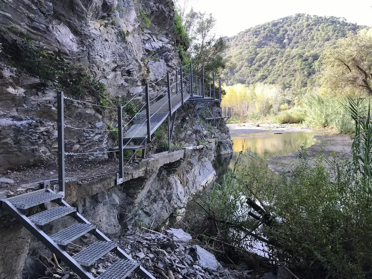
Puerto de la Artesa trail
Whether you are looking for a walking challenge or a simple cycling route, the Puerto de la Artesa trail offers some incredible views of Estepona’s mountain range. This is a linear route and takes place over a mountain pass, with a medium difficulty because of its length and the lack of water points along the trail.
However, halfway along the trail, hikers will be able to find a detour that links to the SL-A 169 path and this will take you to Fuente del Porrejón (fountain). The detour is just under half a kilometre, and you will be able to fill up with fresh water and rest under the shade of the pine trees to continue the hike. The trail starts at Puerto de Peñas Blancas and ends at Puerto de Artesa, where the descent towards the starting point begins.
Information of interest
- Estimated time: 3h 40min
- Kilometres: 14km
- Incline: 200m
- Estimated location: Puerto de Peñas Blancas
Alcornocalillo Trail
Also starting from Puerto de Peñas Blancas, there is another longer trail which can be done on foot, bike or horseback and involves greater difficulty due to its length. The Alcornocalillo – Altabacales trail is a linear descending route, which starts off through a small and lush grove of cork oaks and then continues along the well-known Altabacales path until reaching Paraje de Nicola.
Throughout the trail, there are two points to fill up with water, the Fuente del Tajo Azul and Fuente del Saucillo fountains. You will find these at the start of the trail and at the mid-way point.
In the final section of the trail, hikers will find the forest rangers’ house ‘Casa de los Guardas’ and ‘Cortijo Nicola’ farmhouse, places of great ethnographical interest thanks to their historic legacy. This trail is linear, so it ends at the Paraje Nicola where hikers will need a vehicle to return to the town or descend on foot for another 10 km.
Information of interest
- Estimated time: 4h 50min
- Kilometres: 6 km
- Incline: 174m (positive) 994 m (negative)
- Estimated location: Puerto de Peñas Blancas
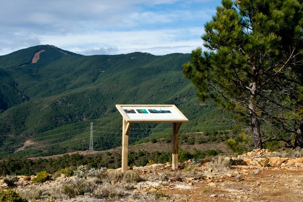
Map of the hiking trails in Estepona
Although these are just some of the hiking routes in Estepona, there are a multitude of different itineraries to suit level and tastes of the hiker. The map below shows the trails mentioned in this post so you can plan your itinerary from beginning to end.